Winter in Manistee County includes great outdoor activities like skiing, snow shoeing, hiking, ice skating, and more.
Photo by Lukasz Szmigiel on Unsplash.com
The Manistee National Forest encompasses over 480,000 acres, and together with the Huron National Forest, occupies almost a million acres of national land in Michigan’s lower peninsula. This is where thousands of people enjoy a myriad of activities–such as hiking, fishing, camping, canoeing, hunting, snowmobiling, and ORV use.
Due to heavy logging in the late 1800s, these forests were almost completely cleared, so the Huron National Forest was established in 1909, followed in 1938 by the Manistee National Forest as a way to preserve this area for generations to come. In the late 1930s and early 1940s, the Civilian Conservation Corp (CCC) helped reforest the land, planting pine trees in straight, even rows, which can still be seen today.
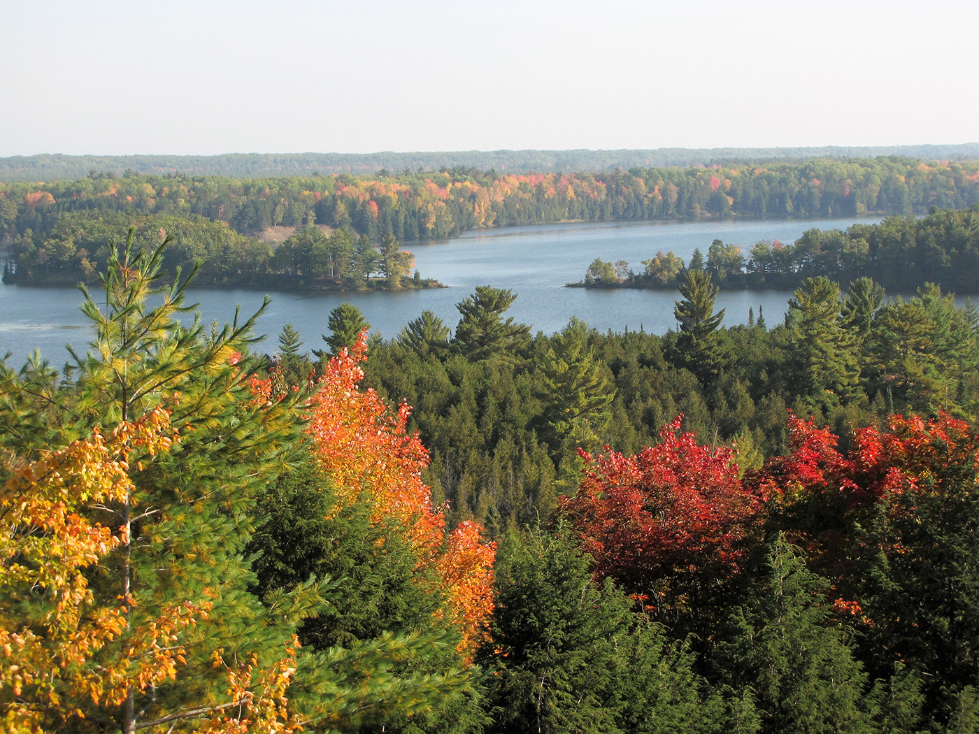
The Manistee National Forest is not one continuous piece of land, but is spread out over nine counties and is broken up by towns and private property. Three major rivers meander through the Forest–Pine, Pere Marquette, and Manistee. The Pine River is a bit rough and only recommended for experienced canoeists. The Manistee River is a bit more calm and perfect for families, and great for fishing! Check out the latest Manistee fishing reports, grab your pole and enjoy the scenery while you fish the Big Manistee or Little Manistee Rivers. We also provide fishing reports for the Pere Marquette River if you’re looking for trout, steelhead, and salmon.
The popular North Country Trail stretches 4,600 miles from New York to North Dakota and through five other states, with 100 miles of the Trail found within the Manistee National Forest.
It is the longest hiking path in the United States, and passes through ten National Forests. Every year, thousands choose a section of the Trail to discover–from snowshoeing in the winter to camping in the summer.
Located in the Manistee portion of the forest is the Nordhouse Dunes Wilderness. It sets just north of the Ludington State Park and along the eastern shore of Lake Michigan. Many of the dunes found here are up to 4,000 years old and 140 feet high with an expansive beach area. In a section just north of the dunes is the Lake Michigan Recreation Area. Here you can picnic, bike, hike, and swim–and there are 99 campsites with tables and fire rings.
There’s so much to see and do in Manistee! Read the stories below or go to the Manistee destination page.
Winter in Manistee County includes great outdoor activities like skiing, snow shoeing, hiking, ice skating, and more.
Manistee County fishing reports for the Manistee River and Manistee Lake are provided by the Michigan Department of Natural Resources.
Beautiful color emerges come Fall. Take it all in with an afternoon drive, or stroll, through the many forests of West Michigan.
The township of Arcadia in Manistee County, home of Arcadia Daze every July, is less than 15 minutes north of Onekama.
There are great events and festivals throughout the year in Manistee, Michigan's Victorian Port City. Find fun for the whole family!
The Michigan Audubon Society Lake Bluff Center overlooks Lake Michigan near Manistee and features wildlife and a bird sanctuary.
Manistee offers a variety of fishing opportunities! Cast your own line into one of the many lakes or streams — or hop aboard a charter boat!
Along the Lake Michigan shoreline between Ludington and Manistee, you'll find natural splendor- the Nordhouse Dunes Wilderness area.
Known as the "Two Lake Town", Onekema is just 20 minutes from Manistee and provides a cozy escape from the everyday.
Take one of the most scenic drives in the nation as you travel across M-22 in West Michigan. A long winding road of adventure awaits!
Take a tour on the Historic S.S. City of Milwaukee car ferry and the U.S. Coast Guard Cutter Acacia docked in Manistee, Michigan.
The North Pierhead Lighthouse, located in the Victorian Port City of Manistee, stands watch over Lake Michigan.
Manistee has the unique combination of beauty, history and nature, which attracts visitors from all over and inspires many to call it home.
The Victorian port city of Manistee, MI features a River Walk, historic Ramsdell Theatre and the S.S. City of Milwaukee.
Take one of the most scenic drives in the nation as you travel across M-22 in West Michigan. A long winding road of adventure awaits!
The historical Vogue Theatre in Manistee, renovated as a modern-day movie theater, shows current movies, classic films, and family movies.
The Manistee Riverwalk follows the Manistee River from Jones Street, under the US-31 bridge, behind downtown, and ends at First Street beach.
The Ramsdell Regional Center for the Arts is a cultural center in West Michigan and plays an integral part in Manistee’s history.
The Manistee River spans for miles and provides the perfect watershed for kayaking, canoeing, fishing, and exploring.
Onekama, in Manistee County, is the first community along the M-22 Scenic Heritage Route and is commonly known as the "Two Lake Town."
Manistee/Cadillac
412 Red Apple Rd, Manistee, MI 49660
(231) 723-2211
Baldwin/White Cloud
650 N. Michigan Ave., Baldwin, MI 49304
(231) 745-4631
Manistee has the unique combination of beauty, history and nature, which attracts visitors from all over and inspires many to call it home.

Onekama, in Manistee County, is the first community along the M-22 Scenic Heritage Route and is commonly known as the “Two Lake Town.”

The historical Vogue Theatre in Manistee, renovated as a modern-day movie theater, shows current movies, classic films, and family movies.
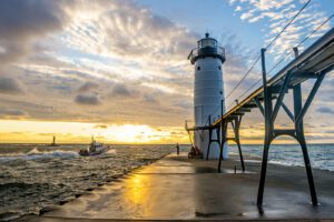
The Victorian port city of Manistee, MI features a River Walk, historic Ramsdell Theatre and the S.S. City of Milwaukee.
Manistee offers a variety of fishing opportunities! Cast your own line into one of the many lakes or streams — or hop aboard a charter boat!
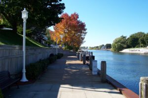
The Manistee Riverwalk follows the Manistee River from Jones Street, under the US-31 bridge, behind downtown, and ends at First Street beach.